Welcome to Heartwood Connect

Your place to grow, connect and thrive
This guide is for residents living in Heartwood Bentley, which brings together information about community connection, parks and recreation, fresh food, waste and recycling, getting around, and resilience and safety.
Community Development – local groups, activities and ways to get involved
The Bentley Place Plan is a collaborative, action-focused roadmap designed to shape the future of the Bentley Redevelopment Area. Developed in partnership with Town Team Movement and DevelopmentWA, it brings together local residents, businesses, community groups, educational institutions, and government to create a vibrant, connected, and inclusive neighbourhood.
You can download the Place Plan here.
The plan includes information including:
- Who is responsible for implementing the plan and their responsibilities
- How the plan will be monitored, evaluated and updated
- Information about the community (vision, history, key socio-economic characteristics)
- Summary of community stakeholder engagement issues that informed the plan
- A schedule of proposed community events and activities
Healthy and Active Living
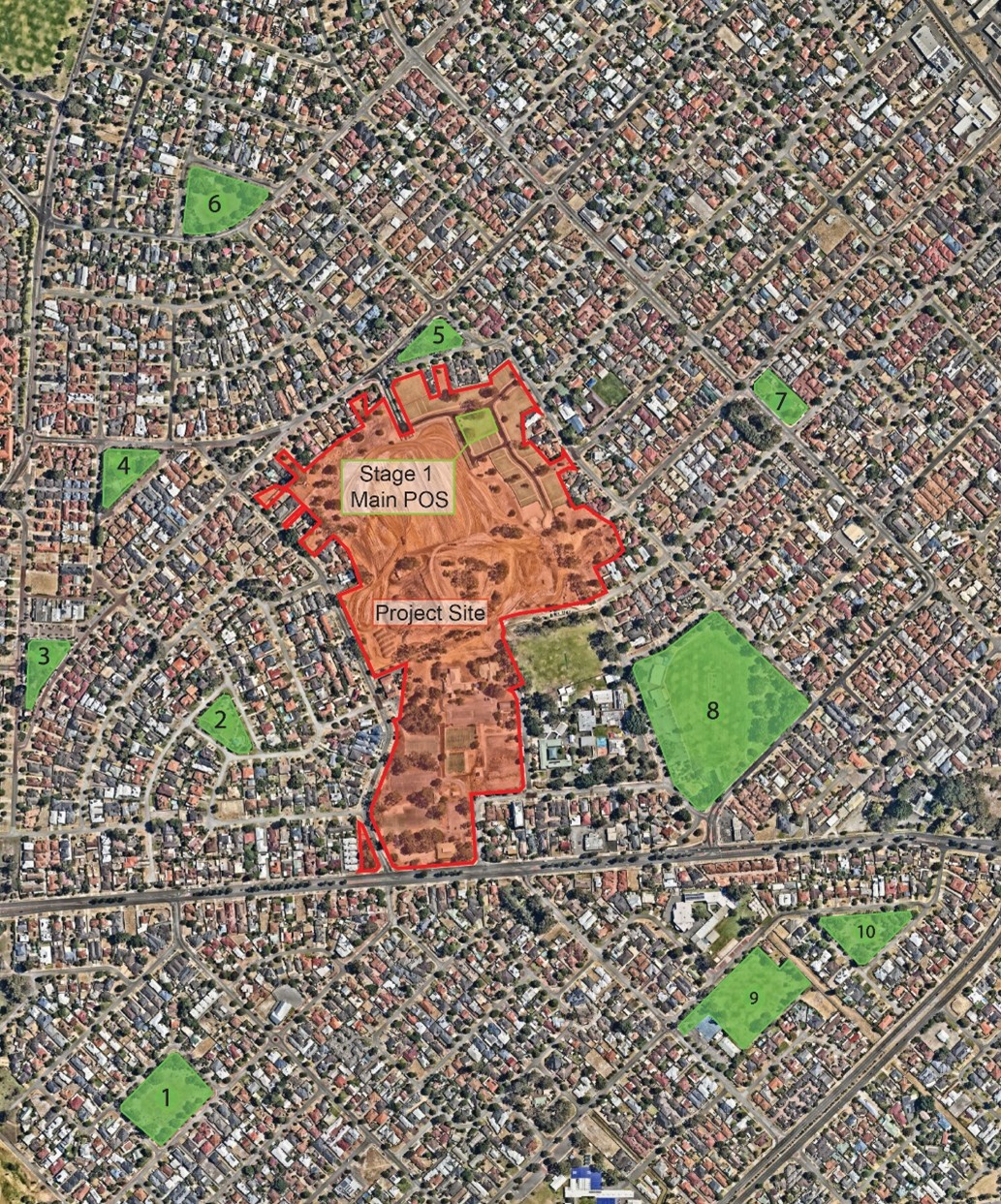
Heartwood Bentley is conveniently located near a number of schools, community centres, and local amenities, including:
- Bentley Primary School
- Al-Hidaya Islamic School
- Curtin University
- Bentley Community Centre
- Hillview Multicultural Centre
- Manning Road Farmers Market
- Bentley Community Garden
- Chung Wah Associaion (currently under development)
Access to Fresh Food
Come and experience the Manning Road Farmers Market each Saturday from 7:15am - 12pm on the corner of Manning Road and Dumond Street.
With over 80 stalls to explore, you'll find locally sourced produce ranging from fruit, vegetables, meat, dairy, eggs, and a wide range of other delicious delicacies.
You can find out more here.
Waste Management
Information relating to bin collection day, bulk garden organics verge Collection, hazardous waste information and the Ranford Road Resource Recovery and Waste Transfer Station can be found here: Waste and Recycling
You can also download the City of Canning Waste Guide.
Transport
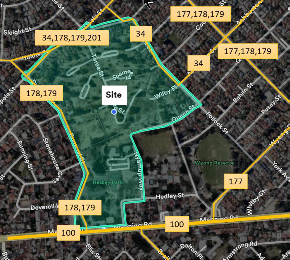
Bus routes within walking distance as shown on the map below are 34, 100, 177, 178, 179, 201.
You can plan your journey using the Transperth Journey Planner.